What is GISS?
Download book in PDF, 5Mb3.8 Monitoring of the World Ocean, including the Arctic and Antarctic zones, provision of global meteorological observation
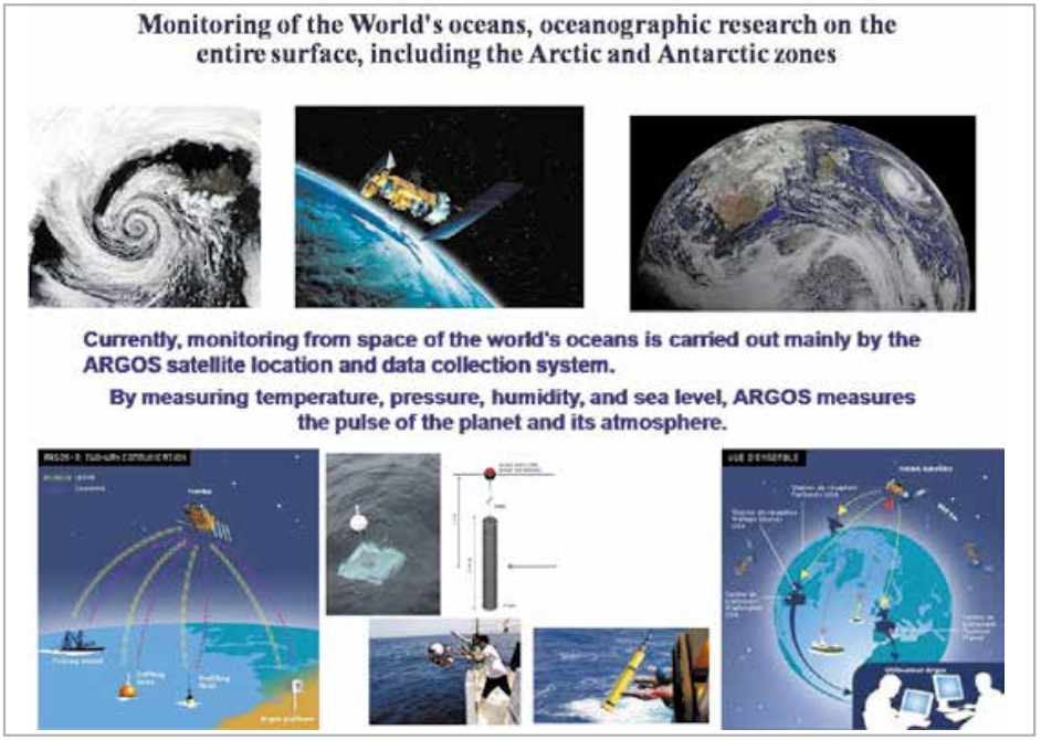
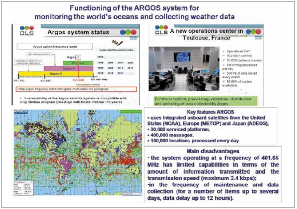
At present, control from space of the World Ocean is carried out mainly by the satellite positioning and data acquisition system ARGOS (see slides in Fig. 3.19 and Fig. 3.20).
There are many types of buoys, data exchange stations with LEO navigation satellites installed on ships and platforms of various types, the data from which are processed in ARGOS centers.
ARGOS uses integrated airborne facilities on US (NOAA), Europe (METOP) and Japan (ADEOS) satellites, 30,000 serviced platforms, 400,000 messages, 100,000 locations processed every day from floating platforms and buoys.
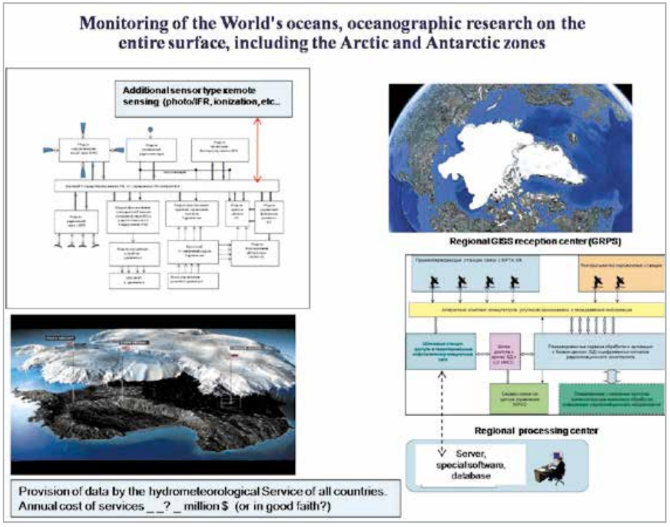
GISS can make a great contribution to the further development of the international monitoring system of the oceans and data collection from various buoys, platforms and unattended weather stations around the globe.
Instead of the 390 kHz (401.3÷401.69 MHz) frequency band available in the ARGOS system, a band of several decades of MHz in the L band can be provided, sufficient to transfer any amount of data, up to photo and video images.
The high-speed IP-transport network of GISS will provide a real-time scale of collection and delivery of monitoring data and meteorological data from any point on the earth’s surface. The high power of request signals with the IP address of the platform or unattended weather station, transmitted on demand directly from the corresponding monitoring center, guarantees activation and transmission (reception) of the requested monitoring information from the specified platform.
A high reception quality factor on three spaced-apart paths guarantees both a high probability of error-free reception and allows one to reduce the energy parameters of floating platforms, unattended weather stations, etc.
Data processing of radar images of areas of the World Ocean surface will allow real-time monitoring of the level and direction of waves in the required areas of the World Ocean ithout special floating platforms.
With relatively large masses of the GISS spacecraft and the payload to be delivered by promising launch vehicles created under the national “lunar programs”, it is permissible to install additional types of meteorological observation equipment as part of the onboard load of the GISS satellites. Some of the spacecraft, supplemented by multi-zone electrooptical means (weighing about 70 kg), with an access IP address in the inter-satellite transport network of the GISC, will make it possible to receive in real time a significant additional amount of information from anywhere in the world for weather forecasting (see Fig.2 top right).
The creation of GISS will provide a completely new level of weather forecast quality for the entire world community. It is necessary to carry out a set of organizational measures on the foundations of the development, implementation and financing of this direction under the auspices of the World Meteorological Organization (WMO).
According to the UN, the damage from natural disasters related to weather and natural unpredictable events ranges from $ 5 to $ 50 billion per year.
Speaking of Antarctica, as the world’s cuisine of weather. A dozen expeditions from different countries, all year round on this harsh continent, and through the spacecraft, the GISS transport network and simple X- and L-band terminals for collective use with a Wi-Fi interface, their teams will be able to watch more than 50 TV programs and communicate with family and friends with conventional gadgets